
Walk a Tacoma Street Record
The strongest Tacoma street directory result is a chain, not a one-line answer. Pierce County says the parcel number is its best lookup key. That number keeps the search attached to the same tract even when a mailing address differs from the site or an older deed uses a legal description. Begin with the normalized city address, including North, South, East, or West when shown. Then preserve each source date. A current tax-roll owner, a voter entry, and a person in a 1930 directory describe different facts at different times.
- Enter the full Tacoma address in the Pierce County Assessor Property Tax and Value Search. Save the parcel number, situs address, owner name, mailing address, and legal description shown.
- Open Pierce PublicGIS and locate the same parcel. Click along the street to check adjoining parcel lines, block context, jurisdiction, and available map layers.
- Use the owner name and legal description in the Pierce County Auditor recorded-document index. Follow grantor and grantee names through deeds and related instruments.
- Check voter information only through the lawful state or county route. Treat a registration address as a dated voter record, not a full household list.
- For an earlier household, move to the Northwest Room's 1928-and-later address sections, then check maps, newspapers, and permits for changes to the site.
This sequence separates ownership, registration, and historical occupancy. It also gives a fallback when a portal fails: take the parcel number, exact name, date range, and record type to the responsible office.
Search Tacoma Parcels by Address
The Pierce County Assessor Property Tax and Value Search, often called ATIP, is the practical first stop for a current Tacoma parcel. County guidance confirms owner, address, and parcel searching, though its dynamic result fields should be checked on the live screen. A parcel is a mapped unit of land. The situs address is its physical location, while the mailing address is where tax mail goes. Those two addresses may not match.
| Search key | Use in Tacoma | What to preserve |
|---|---|---|
| Street address | Find a known site | Exact direction, suffix, and unit |
| Owner name | Find parcels on the tax roll | Spelling and result date |
| Parcel number | Reopen the exact property | Account or parcel identifier |
| Legal description | Connect the parcel to deeds | Lot, block, plat, or other land text |
Do not turn the mailing field into a claim that the owner occupies the Tacoma site. A trust, company, representative, post-office box, or second property may receive the tax notice. Use the owner field to move into recorded documents, and use a dated directory or voter source only for the limited fact that source states.
Note: Pierce County recommends the parcel number as the most dependable key when address searches differ across county systems.
Browse Tacoma Streets in PublicGIS
The Pierce County PublicGIS viewer turns one parcel hit into a street-by-street browse. GIS means geographic information system, a map that links shapes with public data. Use it to orient parcel boundaries and click nearby sites. Available county map applications may also supply political districts, precincts, parks, infrastructure, and environmental context. These layers help explain where a Tacoma address sits, but the map is not a deed and does not prove title.
The street view is useful on corners, large tax lots, and blocks where one mailing address serves more than one parcel. Compare the displayed parcel number with ATIP before carrying an owner name forward. Near Tacoma's edges, record the incorporated municipality separately from the postal city. Pierce County assigns addresses only in unincorporated areas; Tacoma handles addresses inside the city. That local split has real search effects.
For a named-street project, move one parcel at a time and log only what each official popup displays. A map pin can land close to a site without identifying the right tax parcel. Recheck the legal description when two records seem to conflict.
Tacoma Records Keyed by Street
Several public sources can contribute to a Tacoma street directory, but each answers a different question. The assessor identifies the tax-roll owner. PublicGIS supplies mapped context. The Auditor indexes recorded instruments. Tacoma's permit portal ties work records to a permit or record number. Voter data is governed by its own state limits. The historical directory shelf adds dated householder entries rather than a current roll.
| Address record | Custodian | Street evidence | Access route |
|---|---|---|---|
| Property roll | Pierce County Assessor | Owner, situs, mailing address, value, legal description | Free ATIP search; phone or counter help |
| Parcel map | Pierce County GIS | Parcel lines, nearby lots, map layers | Free PublicGIS viewer |
| Recorded instruments | Pierce County Auditor | Grantor, grantee, document date and type | ARMS from 1984; mail or office copies |
| City permits | Tacoma Planning and Development Services | Permit number, site, and processing status | Accela or targeted city request |
| Voter data | Pierce Elections and Washington SOS | Public registration fields subject to law | MyVote or permitted data request |
| Historic directories | Tacoma Public Library | Dated name-to-address and address-to-name entries | Northwest Room, HeritageQuest, ORCA |
When an online index does not answer the question, request the record from its keeper. Pierce County accepts public-record requests online, by mail, email, in person, or fax, and gives an initial response within five business days. Tacoma's Public Records Office offers online, email, mail, phone, and in-person channels for city department records.
Tacoma Street Directions Matter
Tacoma street numbers encode geography. A bare search for “I Street” can cross unrelated parts of the city if its direction is dropped. Preserve N, S, E, or W, the street type, and any unit. Historical searches need more care because the city's 1887 and 1891 street-plan context can place an old directory string in a grid that no longer matches a modern postal entry. Buildings can move, names can change, and city limits can incorporate.
- Parcel
- A mapped unit of land with its own county identifier.
- Situs address
- The physical address assigned to the parcel, distinct from the tax mailing destination.
- Plat
- A recorded map that divides land into lots and blocks.
- Criss-cross directory
- A directory arranged by street and house number, allowing an address-to-name search.
The Northwest Room building research guide recommends bridging renamed or renumbered streets with directories, maps, assessor records, and Sanborn sheets. Keep both the old wording and present address in the notes.
Carry Tacoma Owners Into ARMS
The Pierce County Auditor ARMS portal is built around recording numbers, grantor and grantee names, recording dates, and document types. A grantor transfers an interest; a grantee receives it. The county warns that parcel links may be incomplete, public images are redacted, and the index is not proof of present title. Online recorded-document coverage begins in 1984.
Use the assessor result to supply the name and legal description that the recorder search needs. Record the instrument number, date, type, parties, legal text, prior references, and image status. For a pre-1984 deed or an image not available online, contact the Auditor and ask about office, mail, book, microfilm, or archive access. A written copy request should include the recording number, names, and recording date.
The successful manifest capture comes from the Pierce real-estate recorded-document entry.
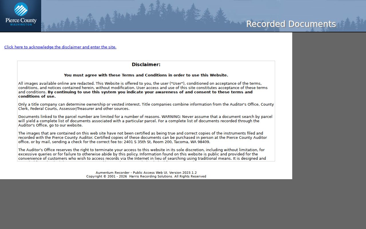
The screen is the bridge from a Tacoma address to indexed instruments, not a substitute for reading the document or confirming the parcel.
Check Tacoma Permits by Address
Tacoma Accela adds the city record layer. Tacoma directs users to the global search or “Search Permit Records,” with a permit or record number as the reliable route to status. Under Record Info, Processing Status shows the review path. Basic record-number searching does not require an account, though detailed access and payment links may.
A permit can explain construction, demolition, repair, or a changed building footprint. It does not establish that the applicant or contractor lived at the site. If the portal lacks an older record, send a narrow request to the Tacoma Public Records Office with the address, department, date range, and record type. For a site outside Tacoma, use Pierce County Code Enforcement, which searches unincorporated cases by parcel, case number, or street address.
Tacoma Reverse Directories Since 1928
Tacoma city directories begin in 1885, but the address-order sections described by the library start in 1928 and continue through 2021. Those later volumes support a true by-address historical lookup: find the street, move to the house number, and note the listed householder for that publication year. Earlier volumes are alphabetical by surname, so an address alone may require maps, deeds, or an index before a name can be found.
Use the reverse section as dated evidence. A missing entry may mean a move, a publication gap, an unlisted household, or a renumbered street. The full shelf and entry marks belong to the Tacoma city directory collection; a street search should use that collection without treating it as a live resident roll.
Note: Phone directories begin in 1919, while Tacoma address cross-referencing begins in the city directory run in 1928.
Handle Tacoma Voter Addresses Carefully
Washington MyVote is the registration lookup entry point, while Pierce Elections handles county registration and data channels. Washington law makes certain fields public, including name, address, jurisdiction, gender, birth year, voting record, registration date, and registration number. Full birth dates, identification numbers, and protected addresses are withheld. State law also limits voter-list use and bars commercial solicitation.
A voter record is not a roster of every person in a Tacoma home. It omits nonregistered people and may reflect a substitute address for someone in Washington's Address Confidentiality Program. Keep the source date and never infer hidden household members. If a street-wide file is needed for a lawful purpose, follow the county or state request process and its stated use limits.
Limits of Tacoma Street Records
A Tacoma street directory cannot produce a complete present-day household list. Tax files name owners, not all occupants. Recorded instruments document legal events, not daily residence. Directories show a past publication year. Utility customer information and DMV records are not open household sources, and protected voter addresses remain confidential. Commercial compilations may blend stale or mismatched data, so compare each claim with the office that created the record.
Lawful use. Use Tacoma address records only for lawful personal research. Never use public details to stalk, harass, intimidate, or expose a protected person.
If an official record is wrong, seek correction from the assessor, Auditor, Elections office, library, or city department that keeps it. If an image exposes protected data, report it to that custodian rather than copying it. Washington's Address Confidentiality Program supplies qualifying people with a substitute address; no street directory search should try to reconstruct the confidential address behind it.